Developing Three Rivers
How our townscape has changed over the years

In this Blog series we’re not so interested in ‘what it was like’, but more ‘why it was like that’. While the small town of Rickmansworth was developing in its own way from the later eighteenth century, it shared quite a lot of influences with much larger towns – not least, London.
Until 1862 the only freight connections with the rest of the area, and indeed with London, were by road (to London via Pinner and Harrow, or to Watford, or to Uxbridge) or canal. Both were limited, the road especially by the size of the available coaches, carts or waggons, and most things used by ordinary people were made locally. It was the railway which began to open up both freight and passenger traffic on a large scale: people and their belongings and goods could be moved much more easily and further than ever before, and life began to change.
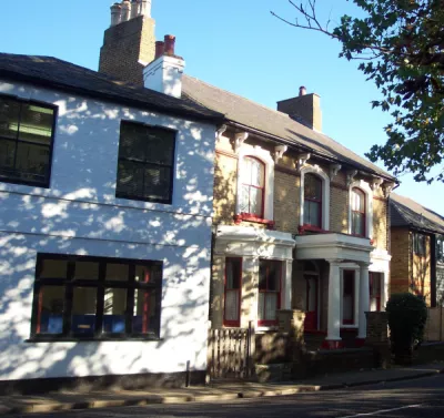
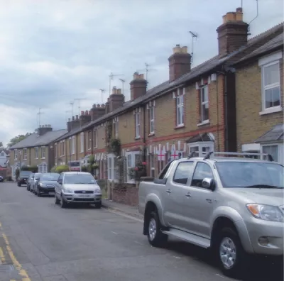
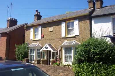
We’ve seen how the commercial scene evolved, with the High Street and Church Street as the centre of commercial life. It was only in the 1860s that the growing population resulted in town centre residential development, with Talbot Road being the first from 1864 – by 1871 it had a very mixed set of residents: clerks, labourers and people like Stephen Beeson, just starting in his business, as well as the new police station, and almost wholly residential. And it was built in the ‘new’ style – two-storey semi-detached houses and ‘villas’, with gardens (there was, though, still no sanitary provision), where earlier cottages would have been smaller, often single-story. New Road in Croxley Green came at the same time, although many of the houses (especially at the Watford Road end) are smaller - the development of Baldwins Lane came in the 1930s.
And back in Rickmansworth the Batchworth end of Church Street began to acquire new houses in a similar style. The town was growing quite fast - in 1861 it was still short of 5,000 residents, in 1901 nearly 7,000.
Norfolk Road followed, with Ebury Road in the first years of the twentieth century (the large estate developments of the Metropolitan Railway were to start here after WW1, with the Cedars Estate off the Uxbridge Road an important part of that). Nowadays such developments are often done as a whole, by a single builder (think of Penn Place in the 1970s), but these road developments were much more piecemeal. A developer, for example C.W. Beckley for Chorleywood’s Station Estate, bought or already owned the land and sold off parcels to builders, often very local, who would each build a few houses to a typical, off the shelf plan, but without too much planning for overall effect or appearance. That’s why we often have several styles in the same road – it depended what the builder thought would sell best, and gave us not only different ‘townscapes’ but also diverse occupations and lifestyles living as neighbours.


The development of Nightingale Road from 1887 was typical. The land was originally part of the Parsonage Farm, bought by John Saunders Gilliat of the Cedars, Chorleywood in 1871, and always destined to be sold for building, especially as London expanded as Mr Gilliat foresaw. Nightingale Road connected the Uxbridge Road to the Chorleywood Road, swing right past the farmhouse, and plots were sold piecemeal along it over a period of over 40 years, with an impetus provided by the need of Mr and Mrs Gilliat's estate to sell the land in 1918 to meet death duties, as was common at the time. The final building was Townfield, in the 1960s: but by that time all the land of Parsonage Farm, on the left as you go up the Chorleywood Road to the M25, had already been built on.
The story of our changing town in a nutshell....